about

our services

We excel in :

  • Innovative sensor selection and development
  • Software engineering
  • Drone Flights and flight support – safe and legal Unmanned Aerial Systems flights, with a wide range of sensing and automation capabilities
  • Field deployment and ground sensors
  • Data Processing
  • Understanding Data
  • Bespoke Scientific Training and Education

3D Drone Survey Models

Overlapping drone photos can make stunning 3D photogrammetric models. This data can be processed to give detailed height data for uses including drainage/flooding, hidden feature detection and well as corrected vertical site images.

Software Development

With full-stack experience we generate software to suit a variety of needs.

Multisensor site surveys

We are experts in site surveying, particularly for the production of advanced products such as photogrammetric models, Digital Elevation Maps, and orthomosaic images, thermal and muti/hyper-spectral (including SIF for crop health surveys). See our sister company www.surveyar.co.uk for more.

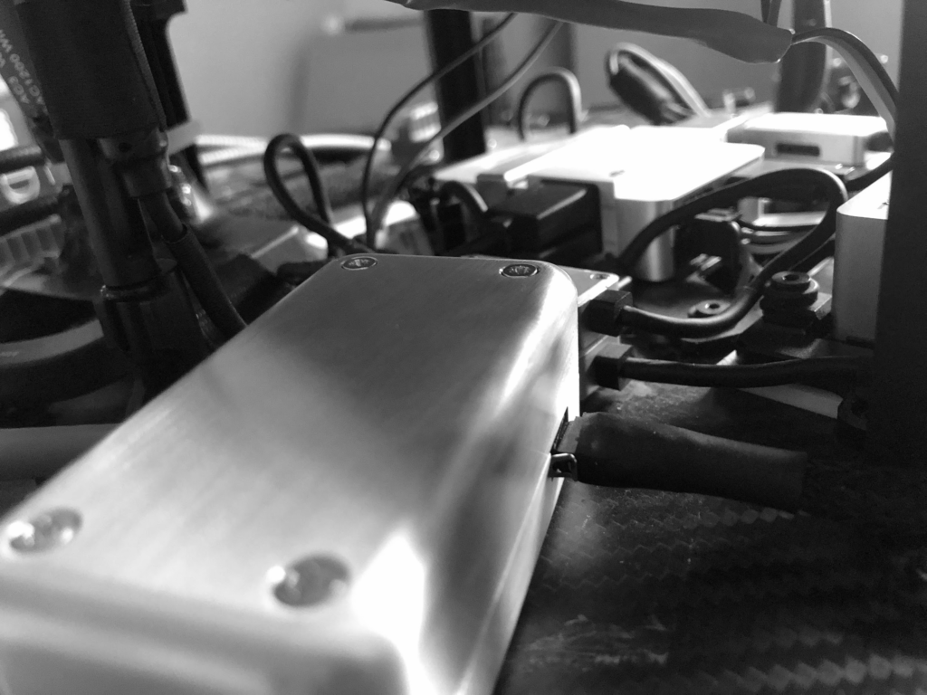
Embedded UAS Sensor Development

With coding skills in languages such as C, C++, Python, Javascript and electrical engineering we can work with all kinds of sensors and data formats and rates to link them with other systems. We specialise in drone/sensor integration for realtime measurements, from inexpensive, arduino and Pi based systems, to state-of-the-art Hyperspectral LIDARs and gas and aerosol flux systems, we understand them all.